

The U.S. Forest Service said Tuesday afternoon it has closed portions of Black Hills National Forest because of the Qury fire.
The closure order, which the forest said is for public and firefighter safety, is in effect March 17 to April 16, "unless modified or rescinded sooner." Closed areas include Forest Service lands contained within an area west of the intersection of U.S. Highway 385 and U.S. Highway 16A to the boundary of Custer State Park, and south of the intersection of U.S. 385 and U.S. Highway 16A to the boundary of Wind Cave National Park.
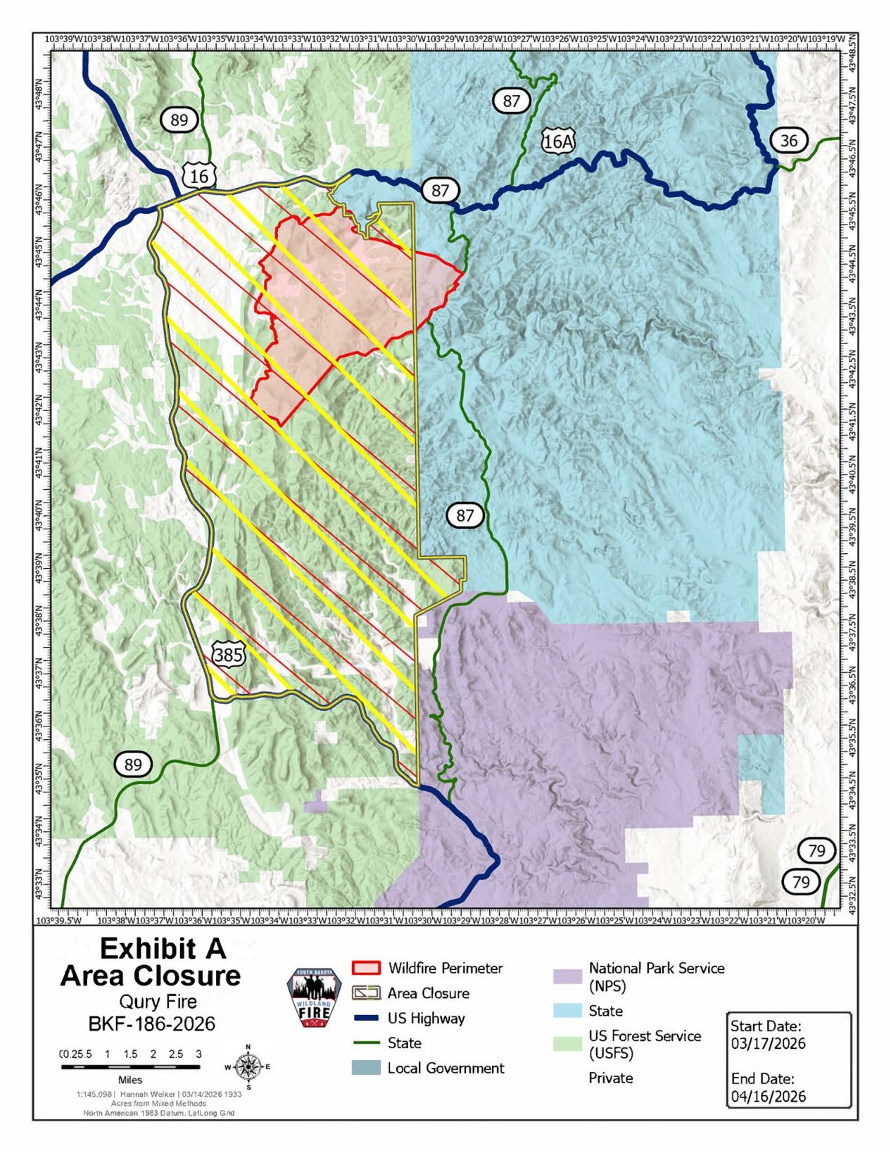
A Black Hills National Forest map, released Tuesday, March 17, showing closures enforced because of the Qury fire near Custer.
The Qury fire, which started Thursday afternoon, March 12, is located about two miles southeast of Custer.聽
The U.S. Forest Service said exemptions to this closure include residents and landowners with a RapidTag ID issued by Custer County to access their private properties, persons with a permit for use of roads, trails, or areas specifically exempting them from this order or a written determination by a Forest Service authorized officer, and any federal, state, or local officer, or member of an organized rescue or firefighting force performing official duties.
People are also reading…
Latest updates
The interagency team battling the fire said Tuesday evening the wildfire has burned about 9,059 acres and is at 27% containment. More than 350 crew members are working on the Qury fire.
The team said containment has held on firelines south of Highway 16A near Stockade Lake, and crews are actively working on mop-up and suppression repair. Crews continued to secure the lines near Mount Coolidge Lookout in Custer State Park and in the area north of Flynn Creek Road, where burnouts occurred Monday, the team said.
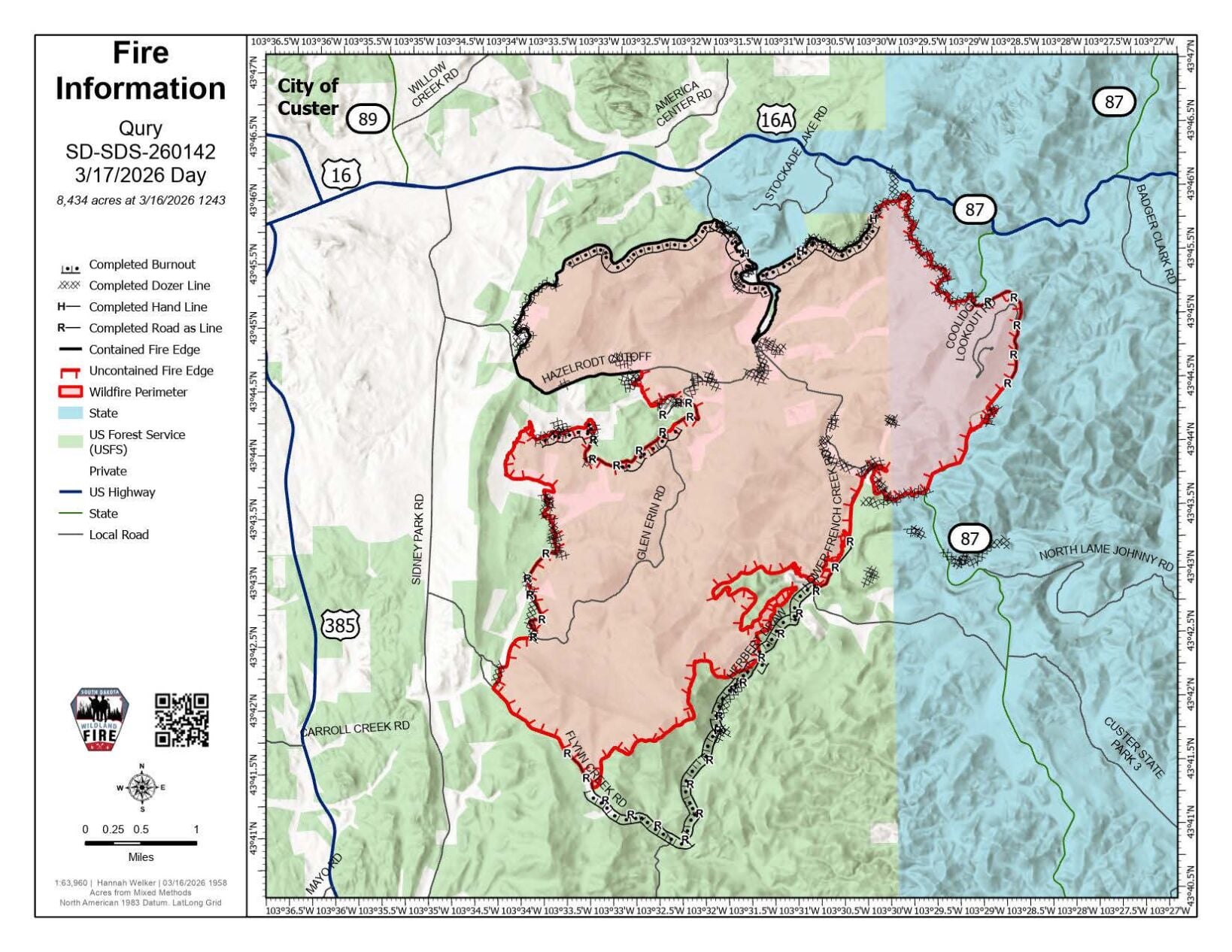
A map provided by South Dakota Wildland Fire on Tuesday, March 17, of the Qury wildfire.
"Taking advantage of the drier weather, crews are working to clean up some of the green islands that are located on the inside of the fire perimeter. So far, firefighters have been successful with their containment efforts," officials said in the update.聽
"For returning residents, please understand that firefighters are still actively working on the ground. Drive slowly and safely; expect to see smoke, heavy equipment, engines, and other firefighting vehicles working along and on the roadways," officials said.
Additional information form Tuesday evening's update聽
Weather: The max temperature today (Tuesday) was around 60 degrees, with a minimum relative humidity of 30%. Tomorrow is expected to be breezy, warmer, and drier with a lower relative humidity. The warming trend will continue throughout the week.
Public Closures: Lower French Creek Road from Highway 16A to Highway 87, Hazelrodt, Glen Erin, Flynn Creek, Herbert Draw, Highway 87 from 16A to the north boundary of Wind Cave National Park (the park remains open).
Residential reopenings: Repopulation efforts have happened across the entire fire. Access is for residential traffic only. Residents must have the Orange Card issued by the Custer County Emergency Management. Visit Custer County Sheriff for most up to date information on Road Closures
Temporary flight restrictions: There is a Temporary Flight Restriction (TFR) over the perimeter of the Qury Fire. "Please do not fly any unauthorized aircraft over the fire. If you fly, we can鈥檛."
PHOTOS: Officials give update on Qury fire near Custer
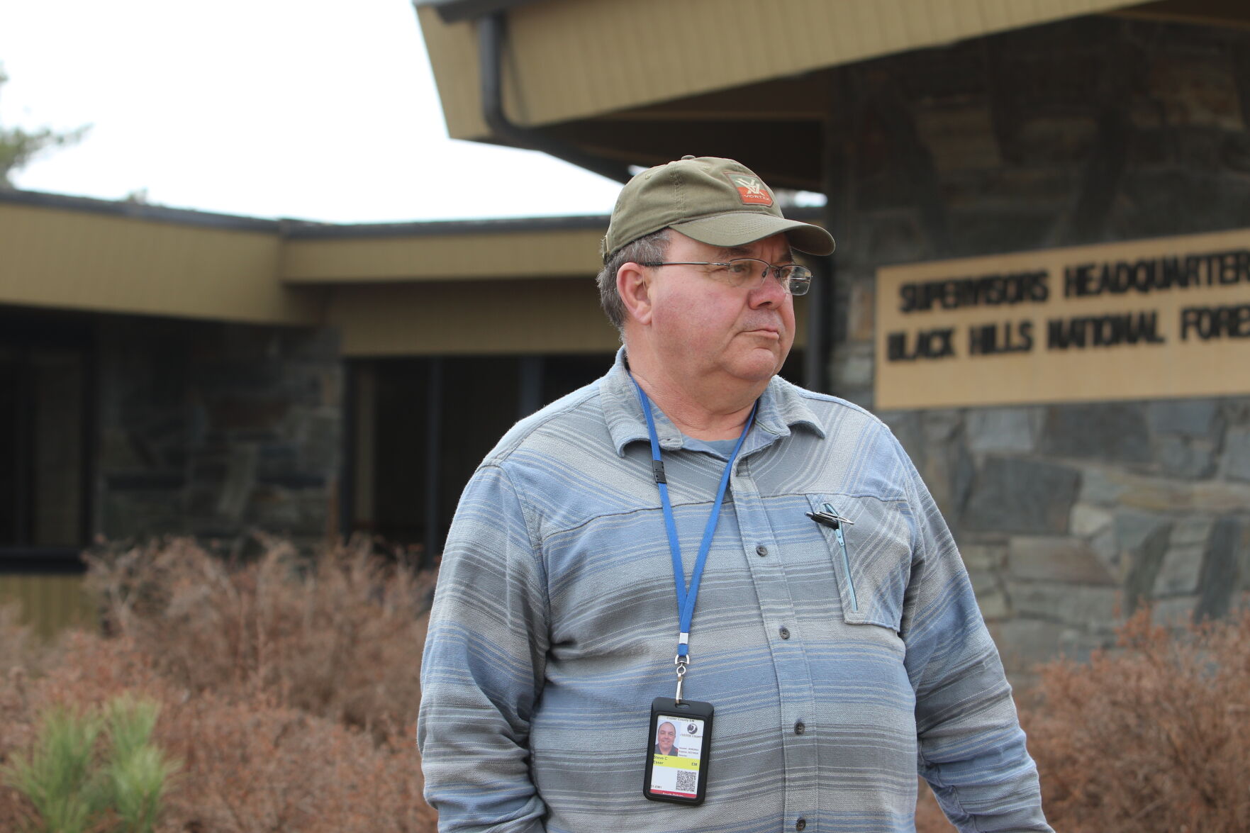
Steve Esser
Custer County Director of Emergency Services Steve Esser clarified to the public that Wind Cave National Park is open.
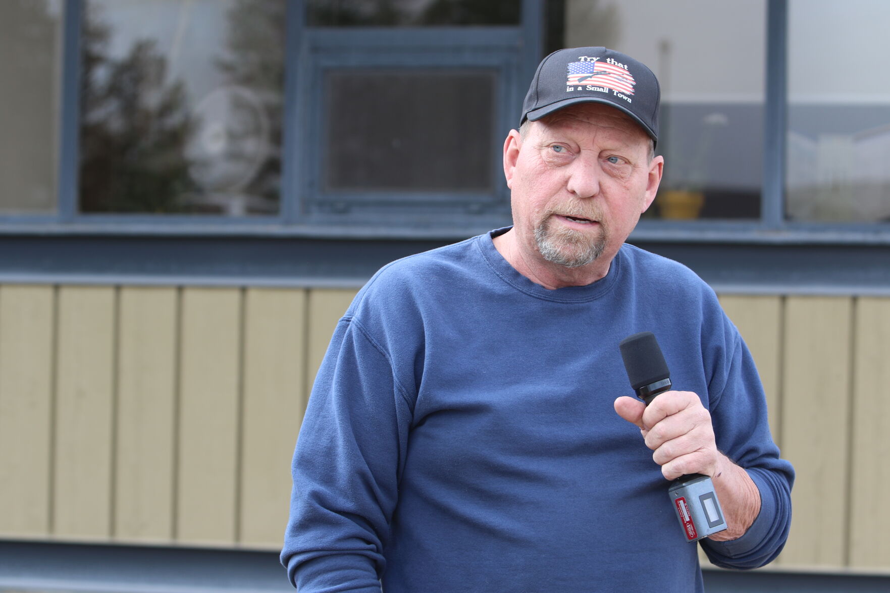
Robert Brown
Custer Mayor Robert Brown shares his gratitude to the community and those responding to the wildfire during a press conference on Friday, March 13.
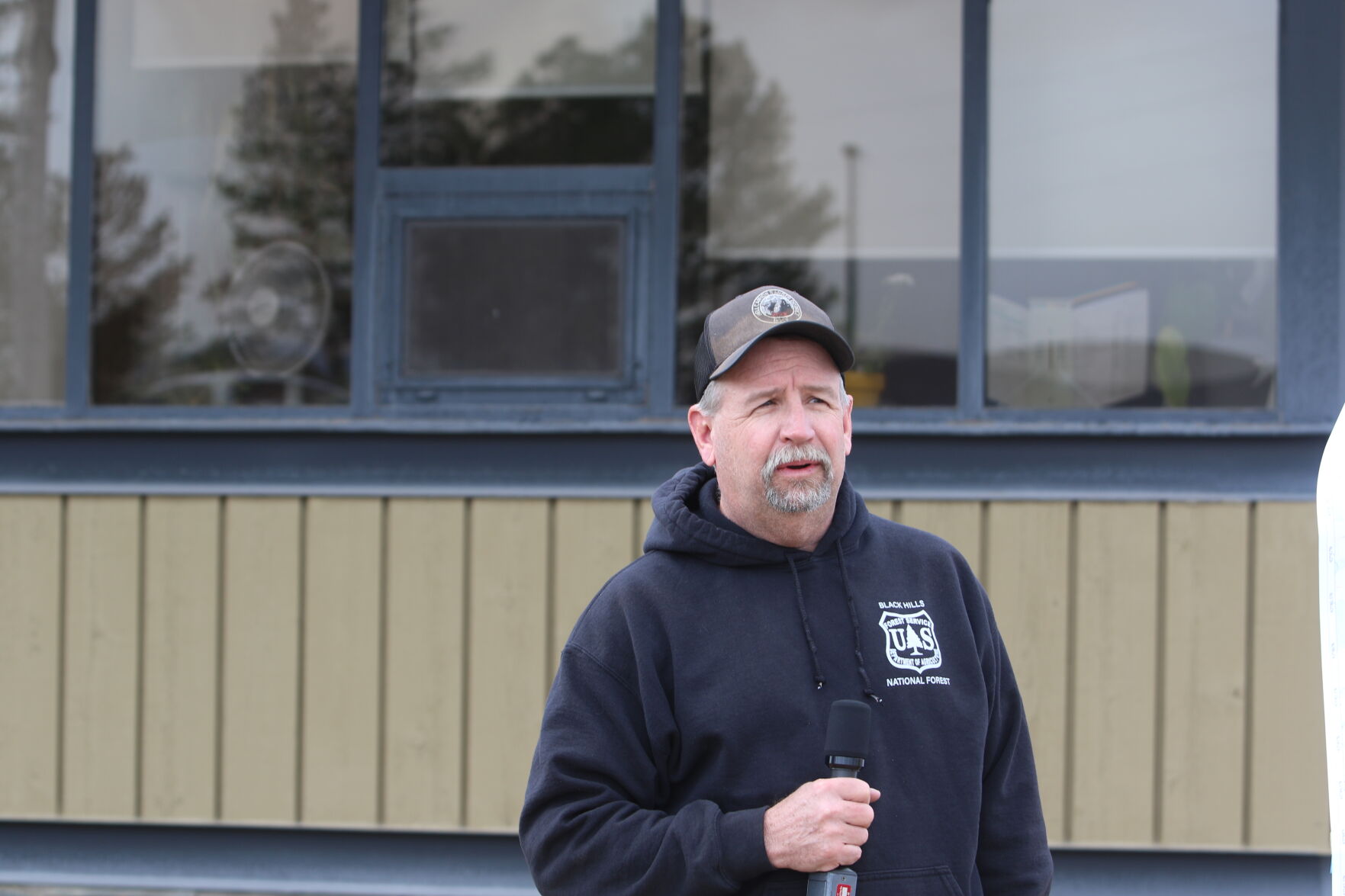
Todd Hoover
South Dakota Department of Public Safety Incident Commander Todd Hoover provided an update on the Qury fire near Custer during a press confere…
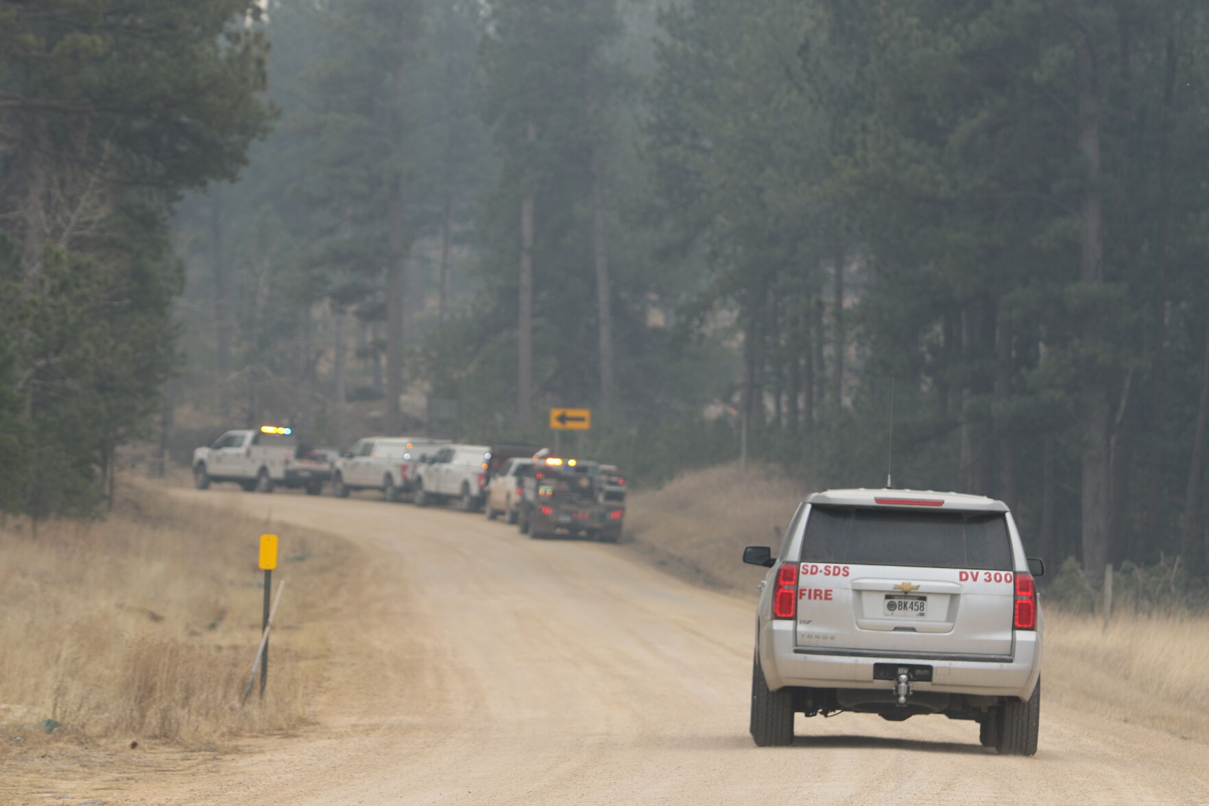
Custer Fire
U.S. Forest Service officials gave the Journal an up-close look at the containment efforts for the Qury fire near Custer.
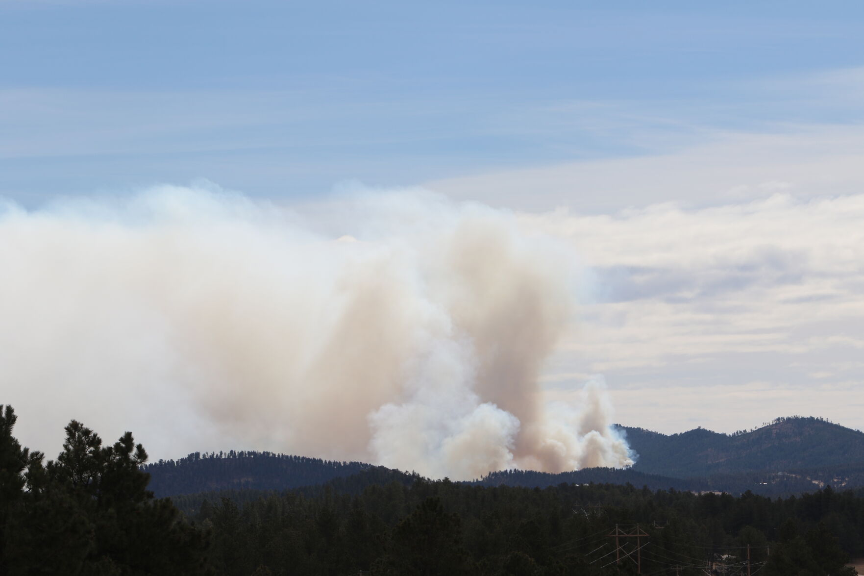
Custer fire
The Qury fire is said to have burned 7,000 acres just outside of Custer.

Custer fire
The Qury wildfire is just hundreds of feet from residential homes in Custer.

Custer fire
An aerial map of the estimated affected region caused by the Qury fire as of the afternoon of Friday, March 13.
A brief video from the Qury wildfire near Custer, South Dakota.
Contact Executive Editor Mike Brownlee at mbrownlee@rapidcityjournal.com
In this Series
Coverage of the Qury wildfire near Custer

Mike Brownlee
Executive Editor

Shalom Baer Gee
Assistant Editor